 Queenstown City Guide
Queenstown Walks: Every Track With The Authority's Own Time
The 17 Queenstown walks and trails on this page each carry the time their own authority publishes: the Department of Conservation for the walking tracks, the Queenstown Trails Trust for the shared-use routes, and nothing at all where nobody publishes a figure. That matters here, because the district's two most-quoted numbers are wrong in ways that cost people an afternoon. The list below is grouped by where each track starts, from the ones you can begin at the end of your street to the three-day Great Walk that needs a shuttle, and the two entity pages that carry their own detail are the Ben Lomond Track and the Queenstown Hill walk. Everything else a first trip needs is in the Queenstown guide itself.
Quick answer What is short, what is a full day, and which published numbers to distrust
The Department of Conservation publishes a time and a distance for seventeen walks and trails around Queenstown, from a 30-minute stroll at Bob's Cove to a 6 to 8 hour alpine climb, and the town's two best-known tracks both start within walking distance of the lakefront. Two of the published figures contradict a second authority, and both contradictions make a trip longer than the reader expects.
Key takeaways
- For one free morning, the Queenstown Hill walk at DOC's 2 to 3 hours return is the best return on effort in the district; for a whole day, the Ben Lomond Track at 6 to 8 hours return.
- Read the two disagreements before you plan a bike day: the Arrow River Bridges figures describe trips of very different length depending on which authority you read, and DOC and the trail trust measure the Frankton track differently.
- The Great Walk on the doorstep is the Routeburn, and its huts are booked and two-tier priced — an international visitor pays $77.10 (NZ$132) a hut night in season where a New Zealand resident pays $51.40 (NZ$88).
- Getting to the outlying trailheads without a car comes down to two bus routes and a ferry, all set out in getting around Queenstown, and the guided walking day most visitors actually book is the Hooker Valley track at Aoraki/Mount Cook.
Seventeen Walks, Grouped By Where They Start
Times and distances are the publishing authority's own: DOC's March 2025 brochure Queenstown day walks and bike trails and its track pages, or the Queenstown Trails Trust where its figure is the one printed. Prices are US dollars first with the New Zealand dollar in brackets at NZ$1 = $0.584 (European Central Bank rate). Numbers match the map pins.
Starting in town, on foot
-
Queenstown Gardens loop
Loop walk Free40 min
DOC's entry 14: a flat 2 km circuit of the lakefront peninsula, with the rose garden, a disc golf course, a playground and a skate park on it.
Tip: This is also the published start of the Queenstown Trail, so it is where a bike day begins.
-
Tiki Trail
Forest climb Free1 hr one way
DOC's entry 11, 2 km one way: a steep zigzag through pine forest from the gondola base on Brecon Street to the top complex. DOC's own word for it is steep, and it is not the stroll people expect.
Tip: DOC publishes no elevation gain for it, so ignore any figure you see quoted as official.
-
Queenstown Hill Time Walk
Half-day climb Free2–3 hr return
5.4 km from Belfast Terrace with some 500 m of climb to a 907 m summit, past the Basket of Dreams sculpture — which DOC places before the summit climb, not at the top.
Tip: One of only two Queenstown-area tracks DOC publishes an elevation gain for.
-
Ben Lomond Track
Full-day alpine climb Free6–8 hr return to the summit
1,438 m of gain to a 1,748 m summit, graded an advanced tramping track. The assisted routing from the top of the gondola is 3 to 4 hours return and reaches the saddle only.
Tip: No water past the top complex, and snow and ice above the bushline from April to November.
Along the Frankton Arm and the western bays
-
Frankton Arm Walkway
Flat lakeshore walk Free1 hr – 1 hr 30 min one way
DOC's entry 15, Park Street to Frankton Beach: wide, flat and mostly gravel, and DOC calls it suitable for most wheelchairs apart from a short steep rise at Battery Hill. The length is where the authorities part company.
Tip: DOC's time is ONE WAY. Plan the bus or the ferry home rather than an unplanned second hour.
-
One Mile Creek Walk
Short bush walk Free1 hr – 1 hr 30 min return
DOC's entry 10, 1.9 km return from the Fernhill roundabout, following an old pipeline to One Mile Dam, part of one of New Zealand's first hydroelectric schemes, and on to a small waterfall.
Tip: It is also DOC's third listed access point to the Ben Lomond Track, and DOC notes that route needs navigation.
-
Sunshine Bay Track
Short lakeshore walk Free40 min – 1 hr return
DOC's entry 9, 4 km return starting 1 km past the Fernhill roundabout: native bush, lookouts across the lake to the Kawarau/Remarkables, and a quiet beach at the end.
Tip: The bus stops at the roundabout, which makes this the easiest carless walk in the district.
-
Twin Rivers Trail
Shared-use trail No fee published4–5 hr walk, 2–3 hr bike (Trust)
18.5 km one way from the Kawarau Falls Bridge to Morven Ferry Road along the Kawarau and the Shotover, graded intermediate by the trust. DOC and the trust agree on the distance for once.
Tip: The Kawarau Falls Bridge is now foot and bike access only.
Worth the drive, or the bus to Arrowtown
-
Bob's Cove Track
Short lakeside walk Free30 min one way to Picnic Point
DOC's entry 1, 1.5 km one way from a car park 14 km out on the Glenorchy road, past a lime kiln left from the 1800s. The onward track to Twelve Mile Delta is 6 km and 1 to 2 hours one way.
Tip: Twelve Mile Delta is the one Lord of the Rings location in this district with an official citation — DOC records it as the Ithilien Camp.
-
Moke Lake Loop Track
Loop walk Free to walk2–3 hr loop
DOC's entry 6, a 6 km undulating circuit from the campsite, 6 km west of town with about 7 km of gravel road to reach it. The DOC campsite is $10.51 (NZ$18) an adult and $5.26 (NZ$9) a child per night.
Tip: Camping is booking-only — DOC holds no walk-in spaces — and the road is 4WD-only in winter, when the water is turned off.
-
Lake Hayes Walkway
Loop walk Free2–3 hr loop
DOC's entry 25, an 8 km circuit of Wai Whakaata on smooth gravel, shared with bikes, narrow in places with steep drop-offs. Home to pūteketeke, the Australasian crested grebe.
Tip: Three published start points: the Lake Hayes Pavilion, the northern reserve and Rutherford Road.
-
Arrow River Bridges Trail
Shared-use trail No fee publishedSee the conflict below
Dudley's Cottage in Arrowtown to the Kawarau Suspension Bridge across two high suspension bridges. The trust calls it 13.3 km and DOC 13.7 km, and their times describe different trips.
Tip: Sections of this trail were among the trust's live closure notices when we last read the banner.
-
Gibbston River Trail
Shared-use trail No fee published1–2 hr bike (Trust), 2 hr – 2 hr 30 min (DOC)
8.7 km one way from the Kawarau Suspension Bridge into the vineyards, high above the river. Both authorities agree on the distance and disagree on how long it takes to ride.
Tip: The Peregrine Loop, 1 hour and 2.7 km from the winery of the same name, is the walkers' version.
-
Lake Alta Track
Alpine short walk Free to walk1 hr 30 min return
DOC's entry 34, 2.4 km return from the ski area car park to a glacial lake at 1,800 m, marked by cairns and flagstones. In winter it runs through an operational ski field and is usually under snow.
Tip: DOC says a road toll applies outside the ski season but publishes no amount, which nobody expects on a summer drive.
-
Roys Peak Track
Full-day climb FreeNot published by DOC
The famous ridge photograph, 6 km west of Wanaka. DOC publishes over 1,200 m of gain and a 1,578 m summit and no distance and no walking time at all — the 16 km and 5 to 6 hours everyone quotes is nobody's official figure.
Tip: Closed 1 October to 10 November every year for lambing, which lands in the middle of spring travel.
The Great Walk
-
Routeburn Track
Three-day Great Walk from $51.40 (NZ$88) a hut night for a New Zealand resident3 days, 2 nights
32 to 33 km between the Routeburn Shelter and The Divide, booked and priced in two tiers inside the Great Walk season, which runs 1 November 2026 to 30 April 2027.
Tip: The shelter is 25 km from Glenorchy on a partially unsealed road, and the far end is 85 km from Te Anau — which is why almost everyone books a shuttle.
-
Key Summit, on the Routeburn
Day walk off a Great Walk Free1 hr – 1 hr 30 min return
The one Routeburn day walk with a DOC time we could confirm, and it starts at the far end of the track rather than the Glenorchy end.
Tip: The Routeburn Shelter day walks have times we could not verify, so none are printed here.
Numbers match the list — tap a pin for the guide.
Sources: DOC's March 2025 brochure Queenstown day walks and bike trails and its Ben Lomond, Moke Lake, Bob's Cove and Routeburn pages; the Queenstown Trails Trust maps and trails pages. All read on 8 September 2026.
The Day Walks By Time And Climb
Only tracks with a published DOC time and a fixed start appear here, shortest first. Elevation gain is printed only where DOC publishes one, which happens twice in the whole district; every other cell in that column says so. Figures from DOC, read on 8 September 2026.
| Walk | DOC time | Distance | Climb published? | Starts at |
|---|---|---|---|---|
| Bob's Cove to Picnic Point | 30 min one way | 1.5 km one way | No | Bobs Cove car park, 14 km out |
| Queenstown Gardens loop | 40 min | 2 km loop | No | Marine Parade lakefront |
| Sunshine Bay Track | 40 min – 1 hr return | 4 km return | No | 1 km past the Fernhill roundabout |
| Tiki Trail | 1 hr one way | 2 km one way | No | Skyline base, Brecon Street |
| One Mile Creek Walk | 1 hr – 1 hr 30 min return | 1.9 km return | No | Fernhill roundabout |
| Lake Alta Track | 1 hr 30 min return | 2.4 km return | No | Remarkables ski area car park |
| Frankton Arm Walkway | 1 hr – 1 hr 30 min one way | 7 km (DOC) / 8.5 km (Trust) | No | Park Street, Queenstown |
| Queenstown Hill Time Walk | 2–3 hr return | 5.4 km | Yes — some 500 m | Belfast Terrace |
| Moke Lake Loop | 2–3 hr loop | 6 km loop | No | Moke Lake campsite |
| Lake Hayes Walkway | 2–3 hr loop | 8 km loop | No | Lake Hayes Pavilion |
| Ben Lomond, saddle from town | 5 hr return | 10–11 km return | Yes — 1,326 m saddle | Tiki Trail, Brecon Street |
| Ben Lomond, summit from town | 6–8 hr return | 11–15 km return | Yes — 1,438 m | Tiki Trail, Brecon Street |
The Ben Lomond distance spread is DOC's own: its track page and its brochure print different figures for the same trip. Roys Peak is absent because DOC publishes neither a time nor a distance for it.
Where The Two Authorities Disagree, And What It Costs You
Two tracks in this district carry two official figures each. Both disagreements are easy to walk into and both make a day longer than planned, so they are printed here with each authority named rather than resolved into one tidy number.
The Queenstown Trails Trust is the charitable trust that plans and builds the shared-use network, one of New Zealand's 23 Great Rides. DOC publishes the same trails in its brochure, quoting the trust for some figures and measuring others itself. Where the two differ, we print both.
| Trail | DOC's figure | The Trust's figure | Why it matters |
|---|---|---|---|
| Arrow River Bridges Trail | 13.7 km; 2–3 hr, one way, biking | 13.3 km; 2–3 hrs bike RETURN, 3–5 hrs walk return | The same two-to-three hours describes a one-way ride for DOC and a round trip for the Trust. Read it as one way and you plan half the day you need; read it as a return and you may find yourself 13 km from Arrowtown at dusk. |
| Frankton Arm Walkway / Frankton Track | 7 km one way; 1 hr – 1 hr 30 min walking | 8.5 km | Different endpoints, 1.5 km apart. On a flat lakeshore walk that is an extra twenty minutes each way, and the DOC time is one way, not a round trip. |
| Gibbston River Trail | 2 hr – 2 hr 30 min biking, one way | 1–2 hrs bike, 2–3 hrs walk | Same 8.7 km, and the slower figure is DOC's. Budget DOC's if you are riding with children or stopping at a cellar door. |
| The network's size | Over 150 km | Over 150 km on the homepage; more than 200 km on the About page | 200 km is the trust's planning and development scope; 150 km is what is rideable now. Use 150. |
The rule that unlocks all of it
DOC states its own convention at the top of the brochure: all times and distances given are one way and based on walking, unless otherwise stated, and the times given are an approximate guide only. But for the Queenstown Trail sections it adds a second convention — those times are for biking. So a single DOC figure can mean a one-way ride while the trust's figure for the same trail means a return walk.
The practical habit: before you commit to a trail day, note which authority the number came from and whether it says one way, return, walking or biking. On this page every figure carries all four.
And one disagreement inside a single authority
DOC's own two publications differ on Ben Lomond. Its track page summary says 11 km return to the summit; the route description on the same page says 14 km return; the March 2025 brochure says 13 to 15 km. The times are identical everywhere — 5 hours to the saddle, 6 to 8 hours to the summit. The Ben Lomond page prints all of them and plans on the clock instead.
The Routeburn: Booked, And Priced In Two Tiers
The Great Walk that starts an hour and a half from Queenstown is also the only track in this district you cannot simply turn up and walk in season, and its pricing is the fact almost nothing published locally mentions.
DOC runs the Routeburn's 2026/27 Great Walk season from 1 November 2026 to 30 April 2027, and bookings for it are open. Inside that season a bunk in a hut costs a New Zealand resident $51.40 (NZ$88) a night, while an international visitor pays $77.10 (NZ$132) for the same bunk. Outside the season the two-tier pricing disappears entirely and everyone pays the same $20.40 (NZ$35) or $17.52 (NZ$30) a night, because DOC stops servicing and managing the track — and that is the catch, not a bargain.
| When | Hut, NZ resident | Hut, international | Campsite, NZ resident | Campsite, international |
|---|---|---|---|---|
| 1 November – 30 April (Great Walk season) | $51.40 (NZ$88) | $77.10 (NZ$132) | $16.35 (NZ$28) | $24.50 (NZ$42) |
| 1 May – 30 June | $20.40 (NZ$35) | $20.40 (NZ$35) | $5.84 (NZ$10) | $5.84 (NZ$10) |
| 1 July – 31 October | $17.52 (NZ$30) | $17.52 (NZ$30) | $5.84 (NZ$10) | $5.84 (NZ$10) |
| Children in season (ages set by DOC) | $25.70 (NZ$44) | $38.50 (NZ$66) | $8.18 (NZ$14) | $12.26 (NZ$21) |
What the cheaper months actually mean
DOC's own wording for the shoulder is that from May to late October conditions can be challenging, and the practical version is harder than that sounds: outside the Great Walk season the avalanche hazard on the track is not managed, and the Routeburn crosses more than thirty avalanche paths. Walkers have to read the avalanche terrain rating and the New Zealand Avalanche Advisory themselves. Risk can run into December.
So the low-season price is the price of a mountaineering trip, not a discounted Great Walk. Book the summer season, pay the fee for your residency, and treat the winter rate as irrelevant unless you are equipped for alpine travel.
Getting to the start
The Routeburn Shelter sits 25 km beyond Glenorchy on a partially unsealed road, Glenorchy is about 45 km up the lake from Queenstown, and the far end of the track, The Divide, is 85 km from Te Anau — which is why the shuttle is part of the plan rather than an extra. The Glenorchy page covers the road up the lake.
Reaching A Trailhead Without A Car
Four of the walks on this page start where a bus stops, which is more than most visitors realise. Orbus route 1 runs Sunshine Bay to Remarkables Shops through the town centre; route 2 links the Frankton Hub with Arrowtown; and the passenger ferry crosses between Queenstown Bay and Frankton Marina, which turns the Frankton Arm walkway into a one-way walk with a boat home — the single best carless plan in the district. Fares below are the Otago Regional Council's own, and two buses inside 45 minutes count as one journey.
| Service | Runs | Fare, Bee Card | Fare, cash or bank card | Trailheads it reaches |
|---|---|---|---|---|
| Orbus route 1 | 06:02 to 00:25, about every 15 minutes until early evening, seven days | $1.46 (NZ$2.50) | $2.34 (NZ$4) | Fernhill roundabout for One Mile Creek and Sunshine Bay; Frankton |
| Orbus route 2 | Frankton Hub to Arrowtown | $1.46 (NZ$2.50) | $2.34 (NZ$4) | Arrowtown, for the Arrow River Bridges Trail at Dudley's Cottage |
| Queenstown Bay to Frankton ferry | Hourly, 08:45 to 21:45 from Queenstown | $5.84 (NZ$10) | $8.18 (NZ$14) | Frankton Arm walkway, walked one way |
| On foot from the lakefront | Any time | Free | Free | Gardens loop, Tiki Trail, Queenstown Hill, Ben Lomond |
The ones that genuinely need wheels
Moke Lake is 6 km west of town with about 7 km of gravel road, 4WD-only in winter by DOC's own description. Bob's Cove is 14 km along the Glenorchy road. The Remarkables ski area road climbs with an unsealed final stretch and a road toll outside the ski season that DOC mentions but does not price.
Lake Hayes has three start points and no bus. For those, hire a car for the day or take a guided day that already drives the route — the day trips hub sets out which destinations have a coach or minibus option.
Guided Walking Days, And What They Replace
No operator sells a guided version of the town tracks, because they are signposted, free and start at street corners — book one of these instead when you want a walk that needs a driver, a boat or a road most rental agreements exclude. Ratings and prices are the operators' own, as listed on 8 September 2026.
 from $160.97
Most booked
from $160.97
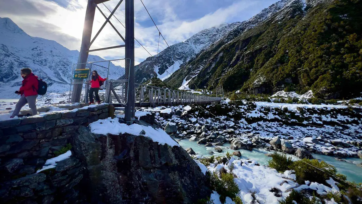
Most booked From Queenstown: Mt Cook & Hooker Valley Day Tour
Built around walking the Hooker Valley Track, with a guide who walks it with you rather than dropping you at the car park. Twelve hours from Queenstown, with photo stops at Lake Pukaki on the way in.
Check Availability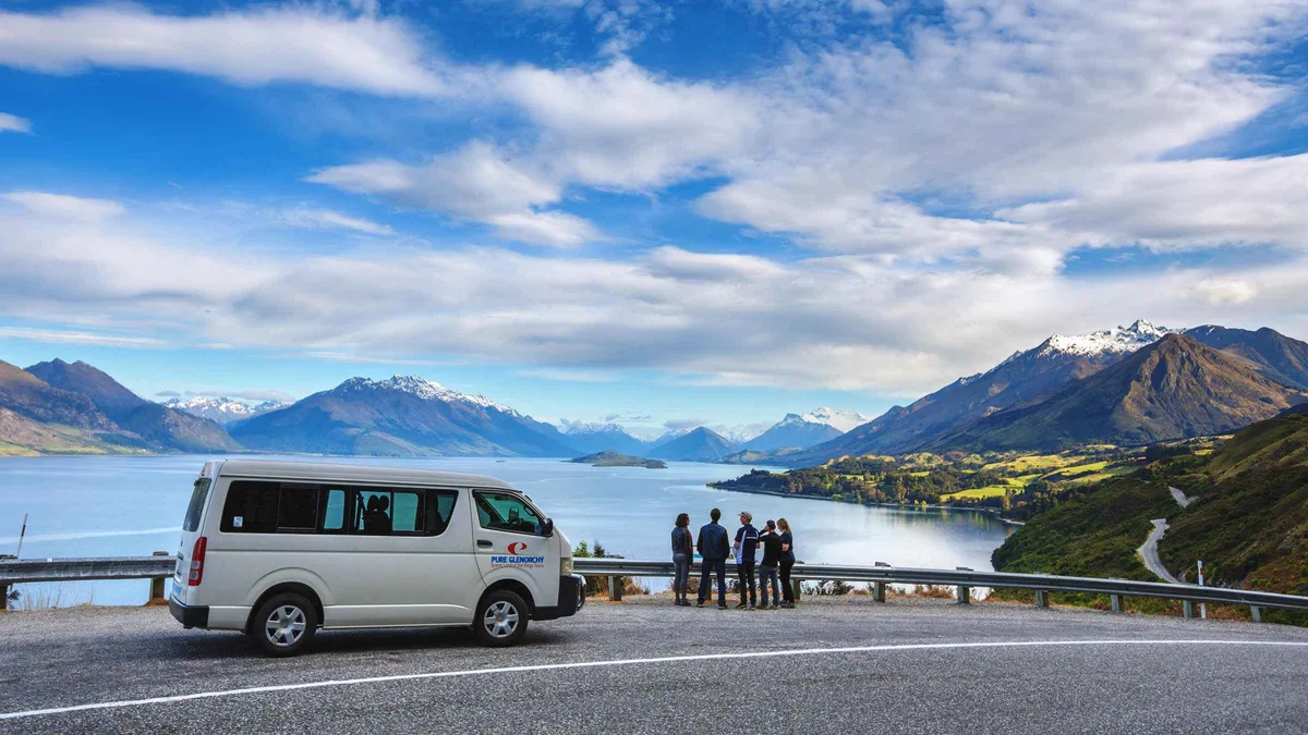 from $122.33
Most booked
from $122.33
Most booked From Queenstown: Lord Of The Rings Tour to Glenorchy
Follows the Glenorchy Road to the Dart Valley and Diamond Lake, with national park fees and a hot drink covered, plus costumes and replica swords to handle. Four and a half hours, small group, pickup included.
Check Availability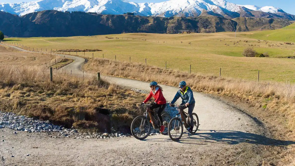 from $61.46
Queenstown: Arrowtown To Queenstown Biking Adventure
A one-way ride: the shuttle carries you and the bike out, then you pedal the 35 kilometres back along the rivers and lake edge into town. Five hours at an easy pace, standard bike or e-bike, ridden unguided.
Check Availability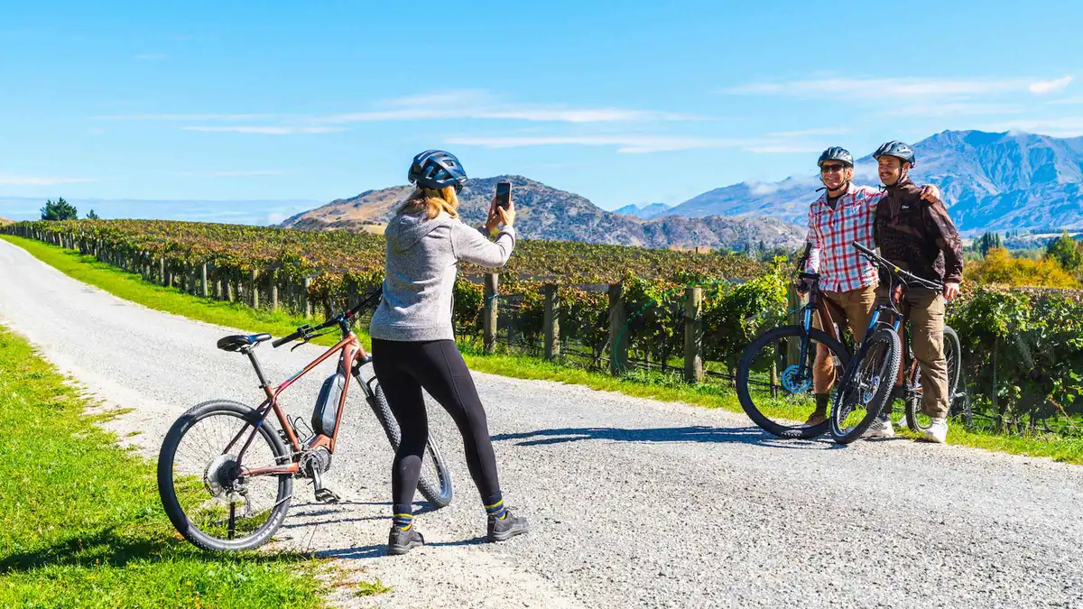 from $61.46
Queenstown: Self-Guided Gibbston Valley Wineries Bike Tour
Self-guided on a bike or e-bike: the shuttle takes you out, then you ride the valley between cellar doors, a cheesery and a tavern at your own speed. Tastings and lunch are bought as you go over about five hours.
Check Availability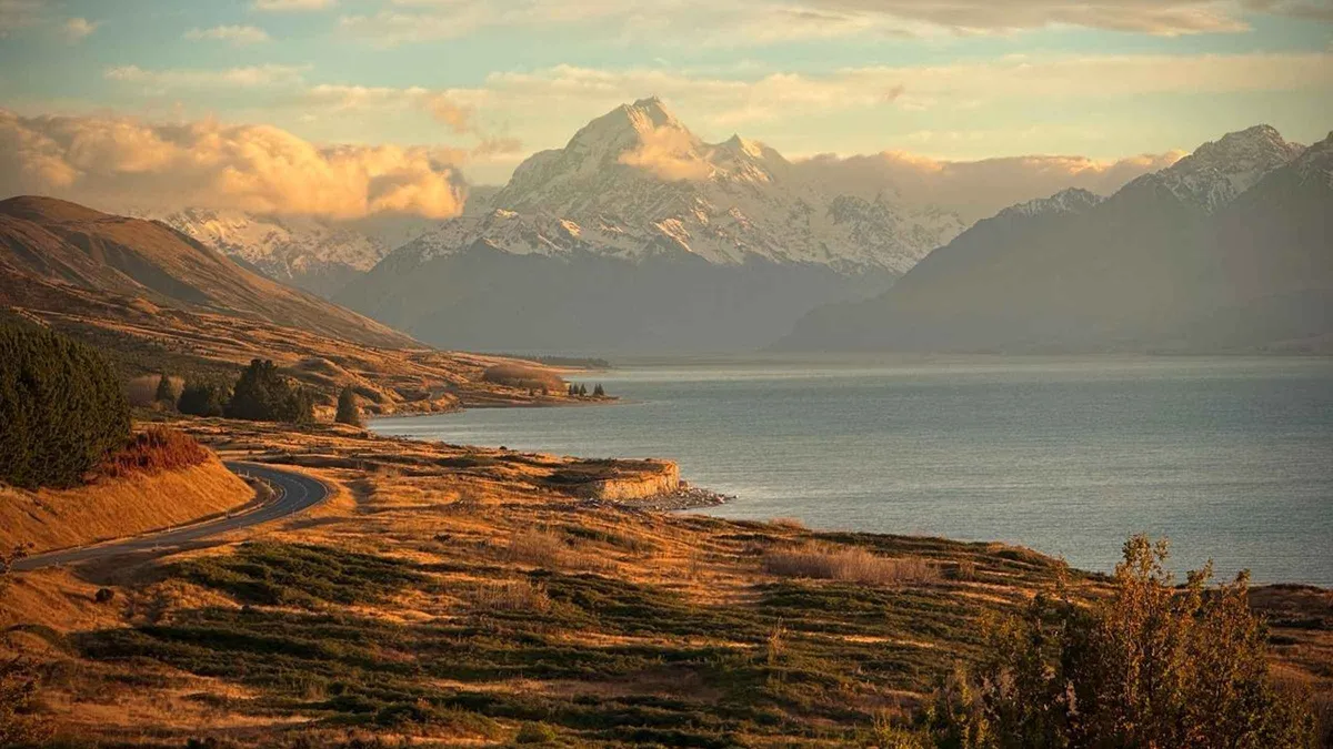 from $160.97
Highest rated
from $160.97
Highest rated Queenstown: Mount Cook Small Group Scenic Day Tour
The same twelve-hour run to Aoraki, but the walking is yours to plan: 2.5 to 3 hours free in the national park, and a scenic flight or glacier hike can be added on the day. Booster seats are carried for children.
Check AvailabilityPrices, ratings and details are the platform's own, checked in Q3 2026; dollar figures are the listed prices — the platform bills in your account's currency.
Dogs, Bikes, Fires And The Things The Brochure Says Once
Dogs. The Queenstown Trails Trust states that all its listed trails are dog friendly, which covers the Frankton, Twin Rivers, Arrow River Bridges and Gibbston routes. DOC bans dogs on Ben Lomond outright. For most other DOC tracks in the brochure the dog rule is simply absent, so assume nothing and check the signage at the trailhead.
Bikes. The shared-use trails are built for them and DOC asks walkers to keep left while riders pass on the right. Mountain biking is banned on both sides of the Moke Lake peninsula because of erosion, with riders directed to the western side of the lake, and it is not permitted on the loop to Picnic Point at Bob's Cove. On Ben Lomond the problem runs the other way: downhill bike tracks cross the walking track and DOC calls those crossings unsafe for walkers.
Fires. The area between Rat Point and Arthurs Point, Ben Lomond included, is a designated High Fire Risk Zone with a year-round ban on outdoor fires.
What nobody publishes
It is worth knowing what does not exist. DOC prints its grade scale in the brochure but attaches no grade symbol to Queenstown Hill, Sunshine Bay, Bob's Cove, the Gardens loop or the Tiki Trail. No elevation gain is published for any short walk in the district.
The trust never uses the word free about its trails: it publishes no charge, ticket or pass anywhere and funds the network by donation and sponsorship, which is a different statement and the honest one to repeat. And its live banner outranks any printed time — when we last read it, parts of the Arrow River Bridges Trail, Bush Creek and Coronet Loop were closed for heavy-rain damage and works, with a detour on the Frankton Track.
The Trailheads On The Map
Numbered to the list above. Pins appear only where an authority publishes a coordinate: LINZ gazetteer points for the hills and lakes, DOC and OpenStreetMap for the trailheads. The tracks with no published point — One Mile Creek, Sunshine Bay, the Arrow River bridges and the Twin Rivers trail — are described in the list instead of being pinned at a guess.
Coordinates: LINZ NZ Gazetteer for Queenstown Hill, Moke Lake, Lake Hayes, Double Cone, Roys Peak and Gibbston; LINZ reserve extents for Ben Lomond, Bob's Cove and the Routeburn; OpenStreetMap for the Brecon Street trailhead.
Where To Go Next
The pages that carry the detail this index only summarises.
Ben Lomond Track
The district's full-day climb, with all four routings DOC publishes and the one it does not. The Ben Lomond page also has the water, toilet and daylight facts that decide the day.
5 min walk to the trailhead from the town centreQueenstown Hill walk
Two to three hours for the best return on effort in town, and the page that explains where the Basket of Dreams actually sits. The Queenstown Hill page has the trailhead and the bus fares.
22 min walk to Belfast TerraceGetting around Queenstown
Bus routes, ferry sailings, Bee Card rules and fares, which is what turns four of these trailheads from a car problem into a $1.46 (NZ$2.50) ride. Getting around has the timetables.
The transport pageQueenstown Walks Questions
What are the best walks in Queenstown for a short trip?
For one free morning, the walk above town that DOC times at 2 to 3 hours return gives a full circle of lake and ranges for about 500 m of climb — its own page has the detail. For a shorter option, DOC's Gardens loop is 40 minutes on the flat and the Sunshine Bay track is 40 minutes to an hour return. The grouped list sorts everything by where it starts.
What are some good hikes in Queenstown, and is any of them a must do?
The three good hikes most first visits come down to are the 2 to 3 hour climb above town, the 40 minute Gardens loop at lake level and the full alpine day on the western hill, and the one closest to a must do is the middle-length climb: DOC's 5.4 km, some 500 m of ascent, a 360-degree view at the top, and half your day still intact. The grouped list has all seventeen with their published times, and the comparison table sorts the day walks by time and climb.
Are the Queenstown walks free?
Yes, with two exceptions worth knowing. Every DOC track and every trail in the trust's network is free to walk, and no authority publishes an access charge — the trust funds its trails by donation and sponsorship rather than charging. You pay only to sleep: the DOC campsite at Moke Lake at $10.51 (NZ$18) an adult, and the Routeburn's booked huts and campsites.
How many walks around Queenstown does DOC publish times for?
Seventeen appear on this page, taken from DOC's March 2025 brochure Queenstown day walks and bike trails and its individual track pages, plus the Queenstown Trails Trust figures for the shared-use routes. The notable absence is Roys Peak, for which DOC publishes an elevation gain and a summit height but no distance and no walking time at all.
Is it possible to walk from Queenstown to Bob's Cove?
Not on a published track. DOC's Bob's Cove entry starts at a car park 14 km along the Glenorchy road, and no authority publishes a walking route to it from town; the tracks that leave the centre on foot run the other way, along the Frankton Arm. Treat Bob's Cove as a 30-minute walk once you have driven or been driven there — the carless section covers which trailheads a bus actually reaches.
Which walks near Queenstown can I do without a car?
Four start in the town centre on foot, and three more start where Orbus stops: the Fernhill roundabout for One Mile Creek and Sunshine Bay, Frankton for the Frankton Arm walkway and the Twin Rivers Trail, and Arrowtown on route 2 for the Arrow River bridges. The fare is $1.46 (NZ$2.50) on a Bee Card. The carless section has the pairings and getting around has the timetables.
Do I need to book a track around Queenstown?
Only the Routeburn, and only inside its Great Walk season, which runs 1 November 2026 to 30 April 2027 for the current cycle. Everything else on this page is walk-up. The Moke Lake campsite also needs a booking if you intend to sleep there — DOC holds no walk-in spaces — but the loop walk itself does not.
When is the snow a problem on the walks around Queenstown?
On the high ground, from April to November: DOC tells walkers to expect snow and ice above the bushline through those months on the alpine climb above town, and the Lake Alta track at the ski area is usually under snow in winter and reached through an operational ski field. The lakeshore walks stay clear year round. The month-by-month weather page has the temperatures and rainfall.
The District's Tracks On Film
Three films that cover what a list cannot: what the tracks look like underfoot, which of them are worth a whole day, and how the shared-use trail network is still growing. Ids copied from our verified list.
Ten walks around Queenstown, filmed
A tour of the district's best-known tracks, useful for matching a name on the list above to the ground it actually crosses.
Video: Backpacking BananasTwo Queenstown walks worth the day
The two climbs above town filmed end to end, which is the fairest way to judge DOC's times against your own pace.
Video: Dane and StaceyThe new Shotover Gorge trail extension
How the shared-use network is being extended, from the regional tourism channel — context for the closure and works notices the trust posts.
Video: Queenstown NZVideos load from YouTube only when you press play.
Reviewed Q3 2026 (July–September 2026); next review Q4 2026. Prices, hours and terms are set by the venue or operator and confirmed at checkout.
We may earn a commission if you book through one of our links, at no extra cost to you. Full affiliate disclosure